A E C O N
Background

Hydrogeology and Geotechnics

Objectives of the Hydrogeology Department

Understanding the Hydrological Cycle: Studying the movement of water in nature through processes such as evaporation, condensation, precipitation, surface runoff, and groundwater recharge.
Water Resources Management: Assessing and planning the use of water resources to ensure their sustainability.
Supporting Sustainable Development: Providing accurate data to support agricultural, industrial, and urban development projects.
Reducing Natural Disaster Risks: Studying floods and droughts and helping to develop early warning systems.
Environmental Protection: Monitoring the impact of human activities on water and its quality, and working to reduce pollution.

Tasks of the Hydrogeology Department

Monitoring and Analysis: Collecting and analyzing climate data such as rainfall, temperature, and humidity. Monitoring water levels in rivers, lakes, and dams. Observing groundwater and surface water levels.
Modeling and Forecasting: Using mathematical models to predict rainfall and surface runoff. Developing models to forecast floods and droughts.
Preparation of Technical Studies: Conducting hydrological studies for engineering projects such as dams, roads, and airports. Preparing studies on groundwater reservoir recharge. Evaluating the impact of climate change on water resources.
Field Surveys: Carrying out hydrological and hydrogeological surveys. Identifying the locations of wells, springs, and flood channels.
Risk Assessment: Analyzing the likelihood of floods and flash floods and proposing suitable mitigation solutions. Assessing drought-prone areas and monitoring climate changes.

Objectives of the Geotechnical Department

Understanding and evaluating the suitability of soil and rock for construction and building purposes.
Ensuring the safety and stability of engineering structures through an understanding of the geotechnical behavior of soil under different loads.
Supporting the structural design of roads, buildings, bridges, dams, and foundation systems.
Reducing geological and engineering risks such as land subsidence, landslides, and collapses.
Achieving economic efficiency in foundation design by selecting appropriate solutions based on soil and site conditions.
Analyzing soil behavior and studying the response of soil to stress, load, time, and environmental conditions.
Tasks of the Geotechnical Department

Field Studies: Conducting geotechnical investigations (soil borings) to obtain soil and rock samples. Performing in-situ tests such as the Standard Penetration Test (SPT) and Cone Penetration Test (CPT). Describing geological layers and measuring the groundwater table.
Geotechnical Design: Designing shallow and deep foundations (such as footings and piles), as well as designing retaining walls and reinforced soil barriers. Analyzing the stability of slopes and soils prone to landslides.
Geotechnical Risk Management: Assessing natural hazards such as landslides, earthquakes, settlement, and soil liquefaction. Providing appropriate recommendations for soil strengthening and property enhancement.
Technical Reporting: Preparing geotechnical soil reports for infrastructure and building projects. Offering recommendations to engineering and consulting entities regarding suitable foundation types.
Soil Improvement Works: Designing and implementing soil improvement techniques such as compaction, grouting, reinforcement, and chemical stabilization.

Our Projects

Al-Bir Road – Tabuk Region

Al-Bir Road – Tabuk Region

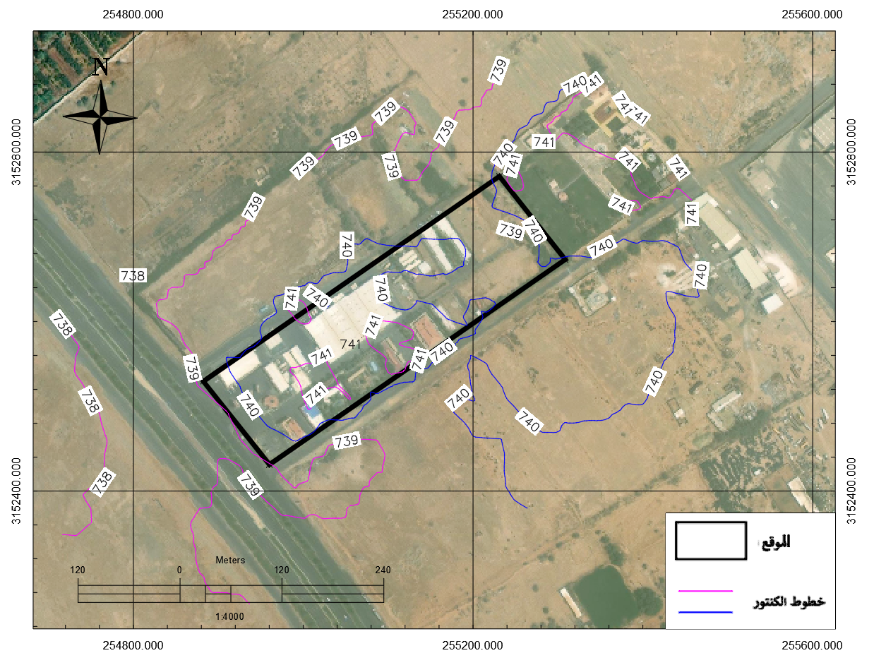
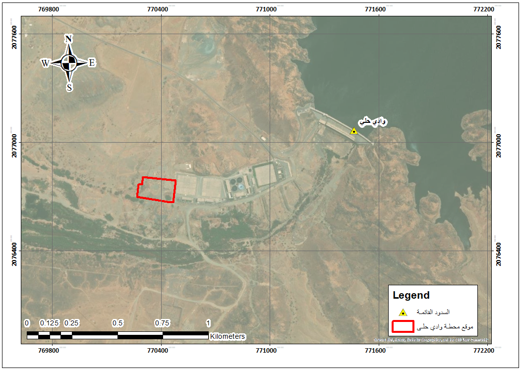
Flood Hazard Vulnerability Assessment for Project Site The study evaluates flood risks at the project site through field data, hydrological analysis, and drainage assessment. It defines design criteria for flood protection based on catchment basin characteristics and runoff behavior.
Al-Bir Road – Tabuk Region

Al-Bir Road – Tabuk Region

Flood Discharge Analysis and Mitigation Measures Peak discharges and flood hydrographs are calculated using rainfall statistics and basin characteristics. The study recommends protective works to reduce flood risk while preserving natural valley flow paths, with diversions only as a last resort.